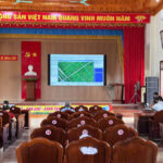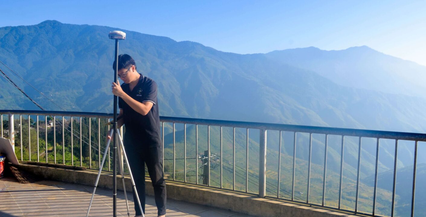
Geodetic Surveying Process Using Drones (Flycam)
To ensure accuracy and detail across all collected data, VDCD Vietflycam applies drone-based scanning technology, conducting three detailed flights in combination with National Geodetic Control points. Step 1: Integrate the national geodetic points into the project system […]